
We collect the data. The platform delivers the engineering intelligence.
Argis Labs collects the field data itself - drones and other sensor platforms where conditions allow, our own field crews everywhere else - and every dataset flows through the same pipeline: ingestion, digital twin, asset intelligence, framework-based assessment, and deliverable generation. That consistency is the product.
Whatever the asset needs to be captured correctly
Argis Labs runs the collection - drones, LiDAR, RGB imagery, video, GNSS, photogrammetry, mobile scanning rigs, or our own field crews - matched to the asset and the environment. Nothing for your team to buy, schedule, or operate.
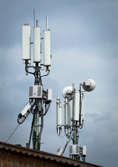
Drone & aerial capture
Structures and vantage points a ground crew can't easily reach - towers, rooftops, elevated spans.
LiDAR & mobile scanning
Corridor-scale capture at speed - roadways, sidewalks, and linear networks, continuously rather than spot-checked.
Field crews & GNSS
Our own crews handle whatever the terrain, access, or asset requires, tied to survey-grade positioning.
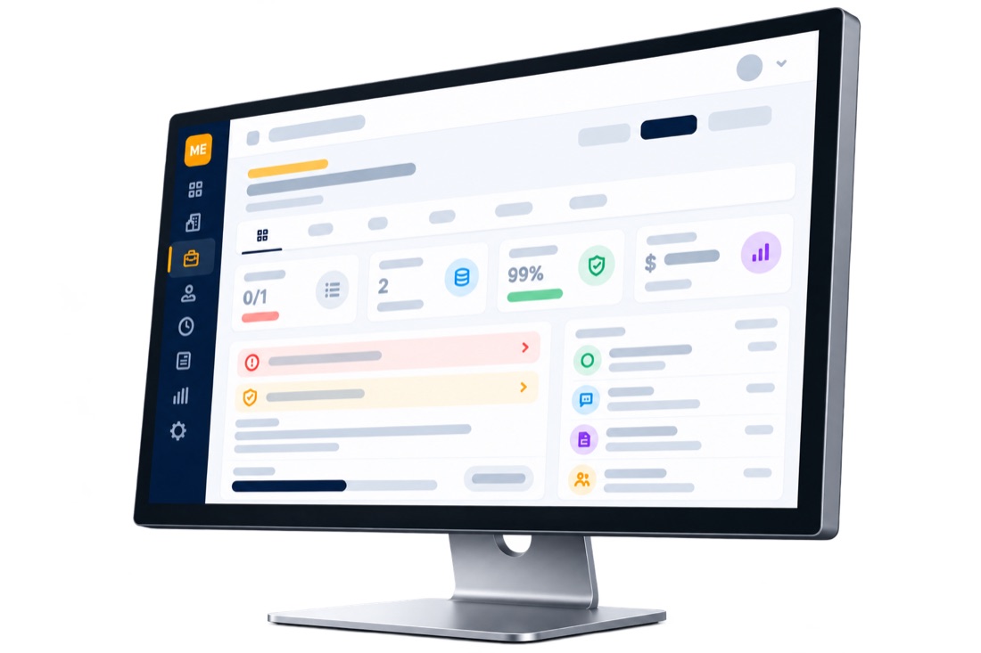
Raw field data becomes a structured 3D model of the asset
Every capture is reconstructed into a true-to-scale digital twin - geometry, components, and precise measurements tied to real-world location - the structured object everything downstream operates on. One twin per asset, whatever the vertical.
- Geometry, components, and measurements tied to real-world location
- The same twin structure across every asset class we support
- Reused every reassessment cycle - not rebuilt from scratch
Every defect, measured against the criteria that govern the asset
The pipeline segments every scene by asset type - walkable surface, pavement, tower structure - then measures each against the criteria your reviewers already work to, with a confidence band on every reading.
Surface discontinuities & slope
Vertical displacement measured to the millimeter, cross slope and running slope computed continuously along the path of travel - not spot-checked, so a compliant average can't hide a failing segment.
Curb ramp geometry
Ramp slope, flares, landings, and detectable warning surfaces evaluated as a system, the way a reviewer would.
Surface distress
Rutting, cracking, and raveling measured and located along the corridor, mapped to standard pavement condition scoring.
Structural geometry
Tilt, mounting condition, and corrosion assessed against structural integrity thresholds - the vantage a ground crew can't easily get.
Every asset class has a standard. Most have more than one.
Every asset class has a governing framework - ADA/PROWAG for pedestrian infrastructure, applicable standards for pavement, ANSI/TIA-222 for towers, or a client-defined framework for anything else - but many jurisdictions and organizations layer their own adopted standards, bulletins, and amendments on top. A finding that's compliant against the baseline can still fail the standard your reviewer actually has to cite.


The governing framework
The standard every asset class must meet, applied to every finding as a starting point.
Adopted-standard variation
Many jurisdictions and organizations layer their own bulletins, amendments, or stricter tolerances on top of the baseline.
Scored against the standard that governs
Every finding is analyzed against the standard actually in force for that project - not a one-size-fits-all check.
Findings a reviewer can stand behind
AI perception handles detection and measurement; configurable rules apply the framework selected for the project. Every deficiency is backed by a photoreal capture and a compliance-risk model flagging every point over the governing threshold - evidence that holds up in front of a client, counsel, or a court.
The full deliverable stack from every engagement
The platform generates the complete work product stack the engagement requires - automatically, consistently, ready for review.
Asset inventories
Every segment, feature, and structure catalogued with location, geometry, and condition.
Compliance analysis
Verdicts per feature against the governing framework, cited to the specific criterion each finding fails or passes.
Defect measurements
Millimeter-grade measurements with confidence bands - defensible numbers, not estimates.
Evidence packages
Camera imagery, defect video, and a 3D model attached to every finding.
Repair recommendations
Remediation guidance per deficiency, mapped to standard treatment types.
Cost estimates
Per-finding and program-level costs to support budgeting and funding requests.
Prioritization models
Risk-based ranking across the network - what to fix first, and why.
Engineering reports
Review-ready reports structured for a qualified reviewer's validation pass.
The final deliverable
A transition plan, an inspection report, a condition assessment, or whatever your engagement calls for - prioritized, costed, with funding scenarios and revisions.
A living system of record, not a PDF on a shelf
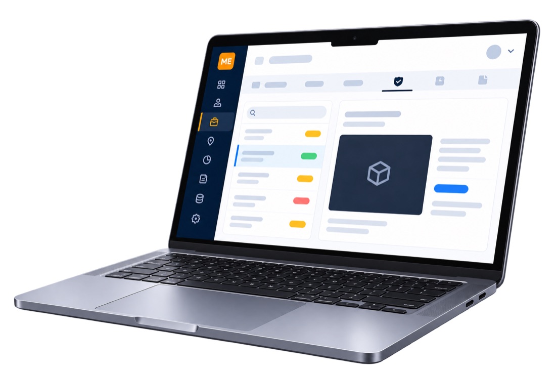
The digital twin stays connected to every deliverable built from it. Findings sync to ArcGIS, historical comparisons track every reassessment, and APIs and data management keep your team and your clients working from the same ground truth.
- ArcGIS feature-layer sync - no new viewer forced on anyone
- Historical comparisons across assessment cycles
- Project management and reporting tools for your PMs
- APIs and data management for your own systems
Your corrections make it yours - without ever leaving your firm
Every override your reviewer makes - a reporting preference, a unit convention, a judgment call - deepens a context layer scoped to your organization alone. The shared detection and compliance models improve for every customer; your review history never does.
Frozen, versioned models
Detection, measurement, and compliance-scoring models improve for every customer - never live-retrained on any one customer's data.
Private, compounding context
Reporting style, unit preferences, and every reviewer correction stay isolated to your organization, making review faster the longer you use Argis Labs.
Isolation by design
Argis Labs works with organizations that compete directly in the same markets. Your proprietary review data never crosses that boundary.
The full network, one searchable inventory
Every asset you've ever assessed lives in one living inventory - not scattered across per-project folders. Query it the way you'd ask a colleague, and Ada turns plain English into the exact filter your team would have built by hand.
- Every finding across every client, in one place - not siloed per project
- Ask in plain English - Ada parses it into real filters, not a search-bar guess
- Removable filter chips, so a parsed query is exactly as adjustable as a manual one
- Drops straight into the map and the underlying evidence for that finding

Bring us one project. We'll run the whole assessment.
We'll collect the field data, run it through the platform, and show your team the deliverable stack it produces on a real project.
Book a discovery call